
Strong Storm Tuesday Night Came Down from Midwest
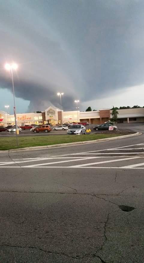
Photo courtesy: Elsie Wilbanks
All is quiet now, but a line of strong thunderstorms moved through Northeast Georgia and the Upstate Tuesday evening bringing gale force winds that downed trees and caused minor damage.
And according to the National Weather Service in Greenville-Spartanburg, Tuesday’s storms actually originated with our neighbors to the North.
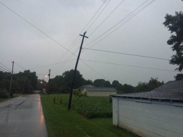
High winds cause power lines to sway during thunderstorm in Royston Tuesday night
Meteorologist Patrick Moore said the line of storms Tuesday evening was a somewhat unusual weather pattern for our area this time of year.
“For July, this was a relatively strong upper level disturbance that was coming down across the Southern Appalachian region and across the Southeast, and it’s in the process of driving a cold front across the region. Out ahead of that front we had a couple lines of strong thunderstorms,” Moore said.
As the storm hit our area, it brought with it wind gusts of over 30 miles an hour, which Moore said is not unusual for these types of storms.
“These kinds of storms can bring winds has high as 70mph, like the kind you would see during a hurricane,” he said.

Photo Courtesy Cavonna Holcomb
Anyone who saw the storm move in, also saw some unusual cloud formations, that almost looked like an alien space ship was about to emerge from them.
“When the atmosphere is really humid, at the leading edge of one of these squall lines there will be some very ominous looking clouds like that,” he said. “They’re called arc clouds, a circular, rounded cloud formation. It happens when you have a cooler outflow underneath a thunderstorm that is rapidly lifting up the humid air near the ground and forms these clouds that look like that.”
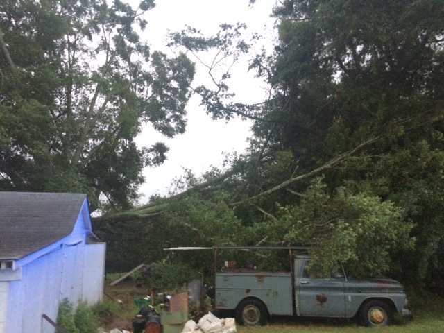
Trees were reported down across Franklin County Tuesday evening after storm moved through area
Moore said in the Southeast this time of year, we normally see late afternoon pop up thunderstorms, but the weather system last night that brought the high winds and blinding rain actually originated in Minnesota.
Moore said those types of storms are not common in the Southeast, occurring about once every two or three years.
“In July, normally this sort of organized thunderstorm activity tends to move across the Midwest and Mid-Atlantic region off to our north,” Moore said. “With the upper level pattern being what it was, the subtle dip in the jet stream helped to drive it a little further southeast than it usually does here in July.”
But despite the severe storms, no major damage was reported in Franklin or Hart Counties.
Franklin County Sheriff Stevie Thomas said most of the damage in Franklin County was in the Gumlog region where strong winds blew down tree limbs and tree debris.
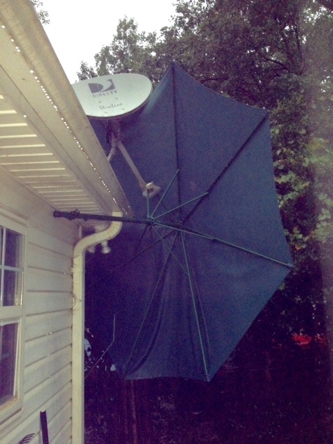 In the Brittany Harbor East subdivision off Gumlog Road, strong winds blew a tree down onto a vehicle on Normandy Trail, a 9ft patio umbrella landed on top of a roof on Rue Chalet where it got tangled in a satellite dish receiver.
Other damage he said was reported in the Red Hill area where winds blew down some trees off McClain Road.
Royston Police Chief Donnie Boleman reported strong winds blew over a power pole on Baker St.
Trees also fell over onto a pick up truck at a home on Baker St.
No other major damage or injuries were reported.