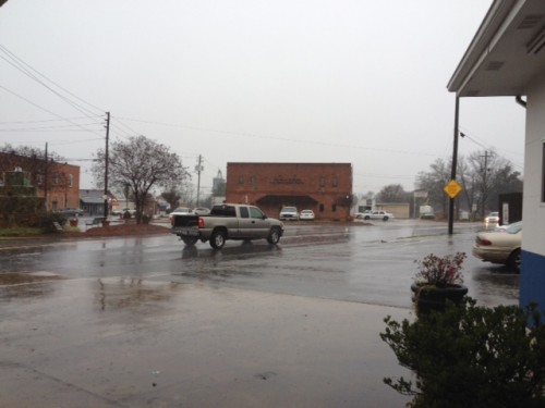
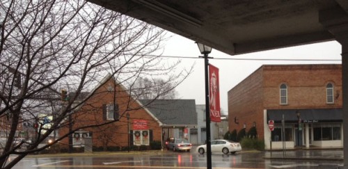
Heavy Rainfall, Fog And Warm Temperatures Expected for Christmas
 Many of us would like to see cold weather and maybe even some snow flurries in the forecast for Christmas, but it is not to be.
In fact, this could be one of the warmest Christmas’s on record and the warm rainy weather could bring with it hail, tornadoes and more flooding.
Many parts of our area and the Upstate are already experiencing flooded roads and the National Weather Service has issued a flash flood watch for Northeast Georgia and the Upstate through 7p Christmas Eve.
According to the National Weather Service in Greenville-Spartanburg, we are in the throws of an unusual weather pattern where lots of rain and springlike temperatures are in the off’ing for the next several days at least.
Meteorologist John Tomko says it’s a warm weather pattern that is essentially recycling itself.
“We’ve got a pattern that is going to be directing moisture into the area over the next several days,” Tomko explained. “We’ve got a few cold fronts that will be moving through our region and as each one reaches here it kind of stalls and diminishes and we get more moisture coming up out of the Gulf. So, it seems like we just keep getting hit over and over again.”
Tomko said over the next several days, we could see as much as four inches of rain in Northeast Georgia, especially in the higher elevations.
You may have been hearing a lot of talk on TV about this weird weather being the result of an El Nino pattern.
However, Tomko says that’s not really what’s behind all the rain and springlike temperatures.
“Actually an El Nino is really more of a transcontinental pattern, at least over the southern tier of the United States,” he said. “And we’re not really seeing that right now. What we’re seeing is an anomolous high-pressure ridge over the East and an anomolous trough over the West. That’s not the normal pattern for this time of year. Normally this time of year, you have a trough over the Eastern United States and a ridge over the West, and that trough of low pressure aloft keeps us in cool conditions for much of the winter. However, we’re actually seeing the opposite of that right now. The pattern hasn’t switched yet as we would normally expect it to. So, because of that, we’re staying warm, we’re getting moisture guided in over our area and that describes what’s happening to us now.”
So how long will this rain and warmer weather stick around?
Tomko says we can look for cooler weather and more winter-like weather in the coming weeks.
“We are expecting things to cool off as we get later into the winter in February and March,” Tomko said. “We’re expecting near normal temperatures or at least there’s an equal chance of being above or below normal, but the long range expectation is not for above normal temperatures over the wintertime.”
And children can be re-assured. Tomko said the rain and warm weather will not affect Santa’s sleigh and reindeer when he makes his run tomorrow night.
